Autonomous Disaster Reconnaissance System with Frontier-Based Localization
- A complete autonomous system to perform reconnaissance in a simulated disaster environment was implemented using a Turtlebot3 mobile robot.
- Onboard the robot, we use a Raspberry Pi 3 with the Robot Operating System (ROS) framework for Simultaneous Localization and Mapping. move_base package from the ROS navigation stack has been used to command the robot to move around the environment.
- Lidar scanners present on the robot were used to generate occupancy grid maps using the GMapping package. explore-lite frontier exploration package was used to explore the environment.
- Raspberry Pi camera was used to detect the Apriltags which are assumed to be the hostages in the disaster environment using the apriltag_ros package. Lookup transforms were used to estimate the position of the Apriltag with respect to map frame.
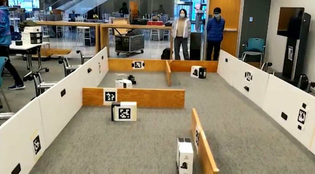
Turtlebot3 performing Frontier Exploration
Visualization of Mapping through Rviz